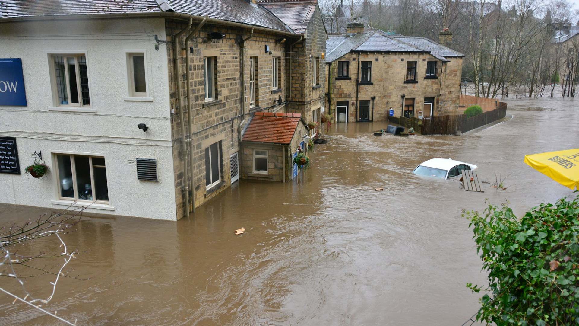
A flood insurance premium under the National Flood Insurance Program is priced property by property. According to the Federal Emergency Management Agency’s Risk Rating 2.0 fact sheet, dated July 2025, the program prices each policy using the frequency of flooding, the type of flooding, the distance to a flood source and the characteristics of the building, including first floor height and the cost to rebuild.
For a homeowner or buyer, that means two houses on the same street can carry different premiums. It also means a premium can keep climbing for years before it reaches the rate FEMA calculates for the home.
What FEMA says goes into the price
The fact sheet lists river overflow, storm surge, coastal erosion and heavy rainfall as the flood types the rating considers. FEMA’s single family home page adds foundation type, elevation, distance from coasts, rivers and lakes, flood adaptation features such as flood vents, and levee performance to the list.
Flood maps have not gone away. FEMA’s Risk Rating 2.0 frequently asked questions, dated December 2022, say map data informs the catastrophe models used to develop rates, and that lenders continue to use the current NFIP flood map to decide whether flood insurance is required for a mortgage.
How increases are limited
The fact sheet says most annual increases are capped at 18 percent, and that premiums rise only until the full risk rate is reached. The FAQ explains that the cap is imposed by Congress and for most policyholders is 18 percent. FEMA’s single family page calls the gradual climb a glide path for people paying below their full rate.
The same FAQ says Newly Mapped discounts phase out annually until the policy reaches its full risk premium, so a policy that benefited from a new map can see yearly increases. The document does not explain how rates adjust after a map revision, so a homeowner whose map changed should ask their insurer or agent for the specific effect.
FEMA says 96 percent of policyholders would see either a decrease or an increase of $20 or less per month when the system started. Policies effective on or after October 1, 2021 were priced under it, and every policy effective on or after April 1, 2022 renews under it.
On FEMA’s single family page, 38 percent of single family policyholders were already paying a risk based premium, using policy data as of August 31, 2023.
Surcharges that can add to a bill
The FAQ describes three charges. A Severe Repetitive Loss surcharge applies to a building that qualifies as a severe repetitive loss property. A Prior NFIP Claims surcharge looks at 10 years of claims and applies once a building has two or more qualifying flood claims with dates of loss on or after April 1, 2023. The HFIAA surcharge continues to apply to primary and non primary residences.
How to check your home
Start with the FEMA Flood Map Service Center. You can enter an address, view the official flood map number and its effective date, and print a FIRMette, a printable PDF of the map for your location. The page notes the static map images are not updated after the effective date, so check the listed revisions.
The same page says you may need flood insurance whether or not you are in a high risk zone, because most homeowners insurance does not cover flood damage. It says residents of low or moderate risk areas are far more likely to experience flooding than a home fire over 30 years, and that an NFIP policy could cost less than $400 per year for many people.
Your own premium comes from your policy documents or your agent, not from the map. Ask the agent which rating details were used for your home, since the FAQ encourages policyholders to confirm their application data or prior policy information with their agent.
Ways FEMA says premiums can come down
An elevation certificate is no longer required, but the FAQ says you may submit one to your NFIP insurer to see whether it affects your rate. Installing proper flood openings in a crawlspace or enclosure, elevating the building and elevating certain machinery and equipment are listed as mitigation steps, and the FAQ says discounts apply regardless of flood zone.
The FAQ also points to community action. A community can change its Community Rating System discount eligibility by contacting its Floodplain Administrator. A buyer can ask the seller for any elevation certificate, and ask the insurer for a quote before closing. For rules in your state and for any dispute about your policy, contact your NFIP insurer or your state insurance department.
More from Willow and Hearth
- More Homeowners Living Outside Official Flood Zones Are Buying Coverage Anyway After Watching Their Own Neighbors Get Wiped Out by Water
- Federal Flood Insurance Program That Millions of Homeowners Depend on Is Set to Expire on September 30th, and Buyers With Closings Scheduled That Exact Week Have No Idea What Happens Next
- 8 Things to Check at a House After a Heavy Rain Before You Make an Offer
Leave a Reply